
Bring Your Own Data: Clusters and Polygons
20k clustered random points and random polygons around London, rendered with the CustomGeoJSONModule. Both layers are clickable.
Two datasets generated in the browser share one module. Circles merge into counted bubbles as you zoom out, over translucent rectangles.
CustomGeoJSONModule.createtakes a named source per dataset, andclusteroptions make the merging a matter of configuration. The layers read group size offpoint_count.shownames its target source, so the second dataset lands beside the first without a second module.events.pointsdelivers the clicked feature per source, plus the raw rendered features a merged bubble needs.
Related examples

Bring Your Own Data: GeoJSON Heatmap with Custom Module
Render a custom GeoJSON heatmap and labeled symbol layer with the CustomGeoJSONModule, with style-change restore, hover and click events.
Customization
Bring Your Own Data
User Interaction Events
Web
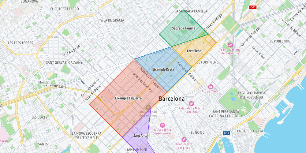
Delivery zones of your own
Show your own GeoJSON polygons and respond to clicks on them
Customization
Bring Your Own Data
Geometry
User Interaction Events
Web
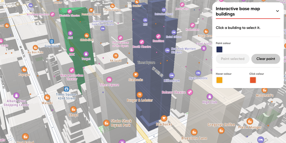
Interactive base map buildings
Hover, click and paint single 3D buildings of the base map in Midtown Manhattan
Customization
Base Map
User Interaction Events
Web
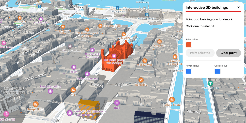
Interactive 3D buildings
Hover, click and paint single 3D buildings and landmarks in Amsterdam with the Landmarks 3D plugin
Customization
User Interaction Events
Terrain and 3D
Plugins
Web