
3D city on satellite
Sydney Harbour in 3D over satellite imagery: moving water, trees in the Botanic Garden, the city's towers, the Harbour Bridge and the Opera House
Three constructors turn satellite imagery into a 3D city, each on its default settings, under one sun.
GLSurfacesfinds the water and the parks under the imagery from the map’s own tiles, moves the harbour and grows 3D trees in the imagery’s colours.Buildings3Draises the base map’s footprints with walls and roofs of their own, as satellite has no 3D buildings to take colours from.Landmarks3Dadds the Harbour Bridge and the Opera House.- The
view.lightknobs ofStylingFoundationsModuleplace one sun for all three, ahead of the camera, so the near water glints.
Related examples
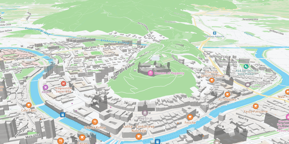
3D terrain map
Render the map surface in 3D using terrain elevation data
Getting Started
Terrain and 3D
Plugins
Web
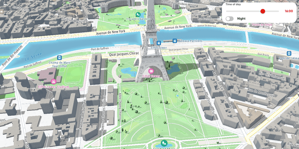
3D city: landmarks, buildings and surfaces
A whole 3D city round the Eiffel Tower, from the rippling Seine and the trees on the Champ de Mars to the buildings and the tower, lit by one sun from dawn to dusk
Getting Started
Terrain and 3D
Plugins
Web
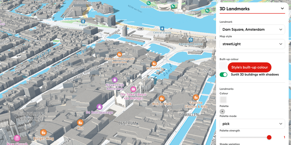
3D Landmarks plugin
Render TomTom Orbis 3D Landmarks in seven cities on a TomTomMap with the Landmarks 3D plugin, and tune their look
Getting Started
Terrain and 3D
Plugins
Web
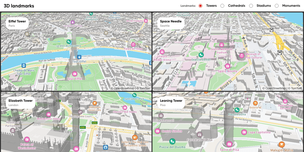
Multiple maps: 3D landmarks of one kind
Four famous towers, cathedrals, stadiums or monuments in 3D, one per map, in a grid that fits any screen
Getting Started
Terrain and 3D
Plugins
Web