
The dropdown swaps between lists of waypoints, and each waypoint is drawn for the role its position gives it: arrow for the origin, flag for the destination, numbers in between.
- A
Waypointis a plain GeoJSON point feature, so ageocodeOneresult and one written out by hand go into the same list. PlanningWaypointadmitsnullin that list, so a list with no origin or no destination needs no second array shape.showWaypointsstands on its own. It draws the waypoints and their labels with no route calculation behind them.
Related examples

Add Stops to Route
Find stops along a route within a one-minute detour and insert them all at optimal positions in a single call.
Getting Started
Routing
Search and Geocoding
Electric Vehicles
Utilities
Web

Along route search
Find the beaches and viewpoints within a one-minute detour of a coastal drive
Getting Started
Routing
Search and Geocoding
Web
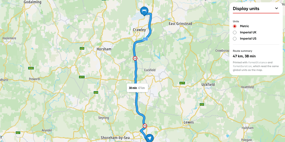
Display units
Switch a route's labels and your own text between metric, imperial UK and imperial US units.
Getting Started
Utilities
Routing
Web
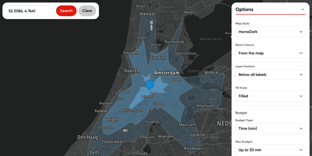
Map reachable ranges from multiple locations
Calculate time-based accessibility areas from multiple locations
Getting Started
Routing
User Interaction Events
Web