
Interacting with the map
Request accessOverview
The map offers a variety of gestures, allowing users to pan, zoom, rotate, and tilt the map using common touch gestures for an enhanced and interactive experience.
Panning and zooming
Dragging the map with one finger will pan the map. This is possible in all view modes. When panning, the map will stop tracking the current location until the driver presses the Re-centre button.
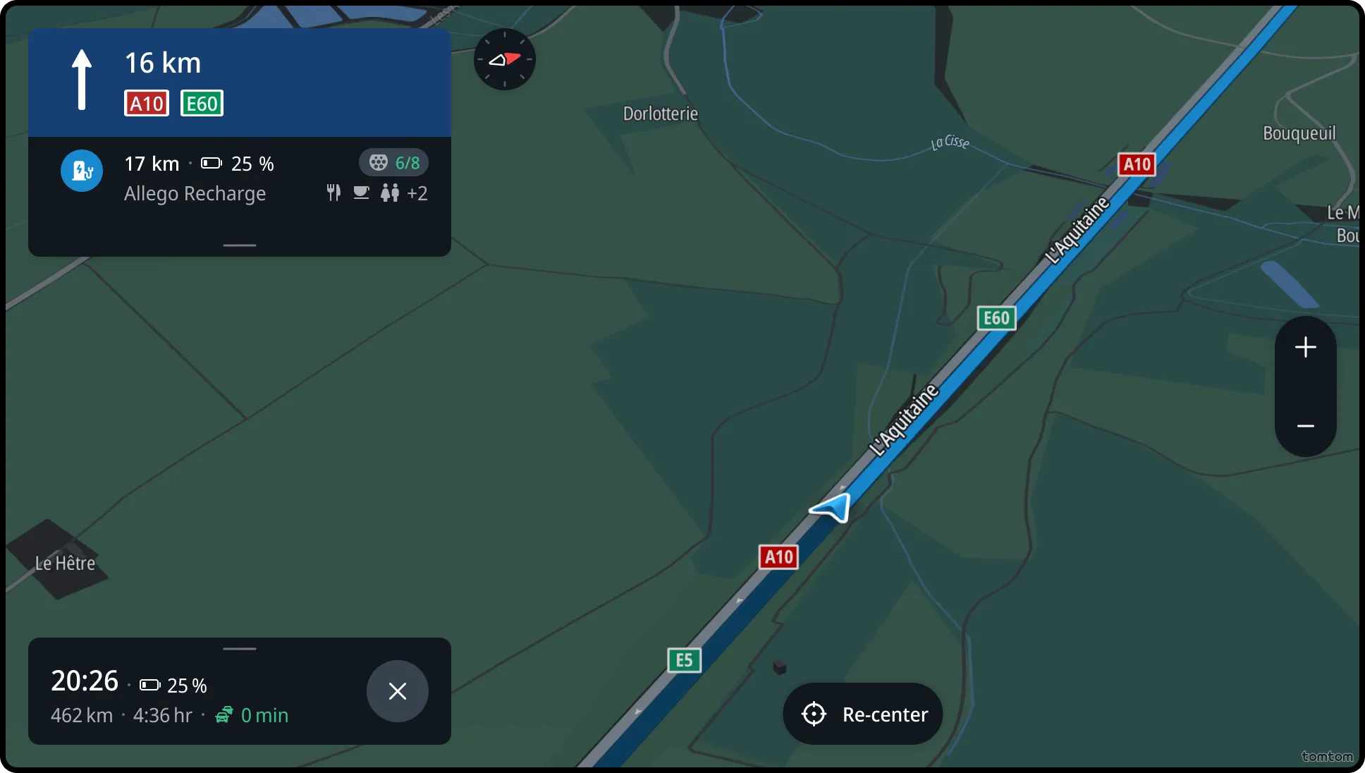
Panning the map automatically shows the zoom controls, allowing the user to precisely modify the zoom level.
A single tap on the map will also reveal the zoom controls, without losing the current position of the car.
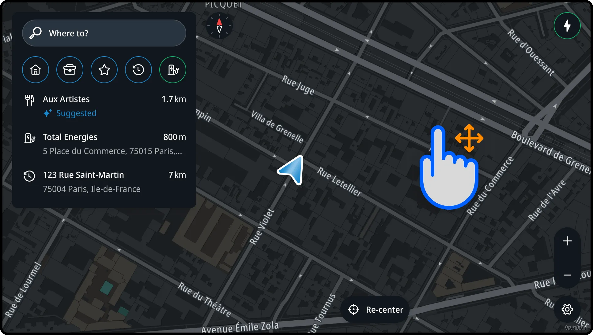
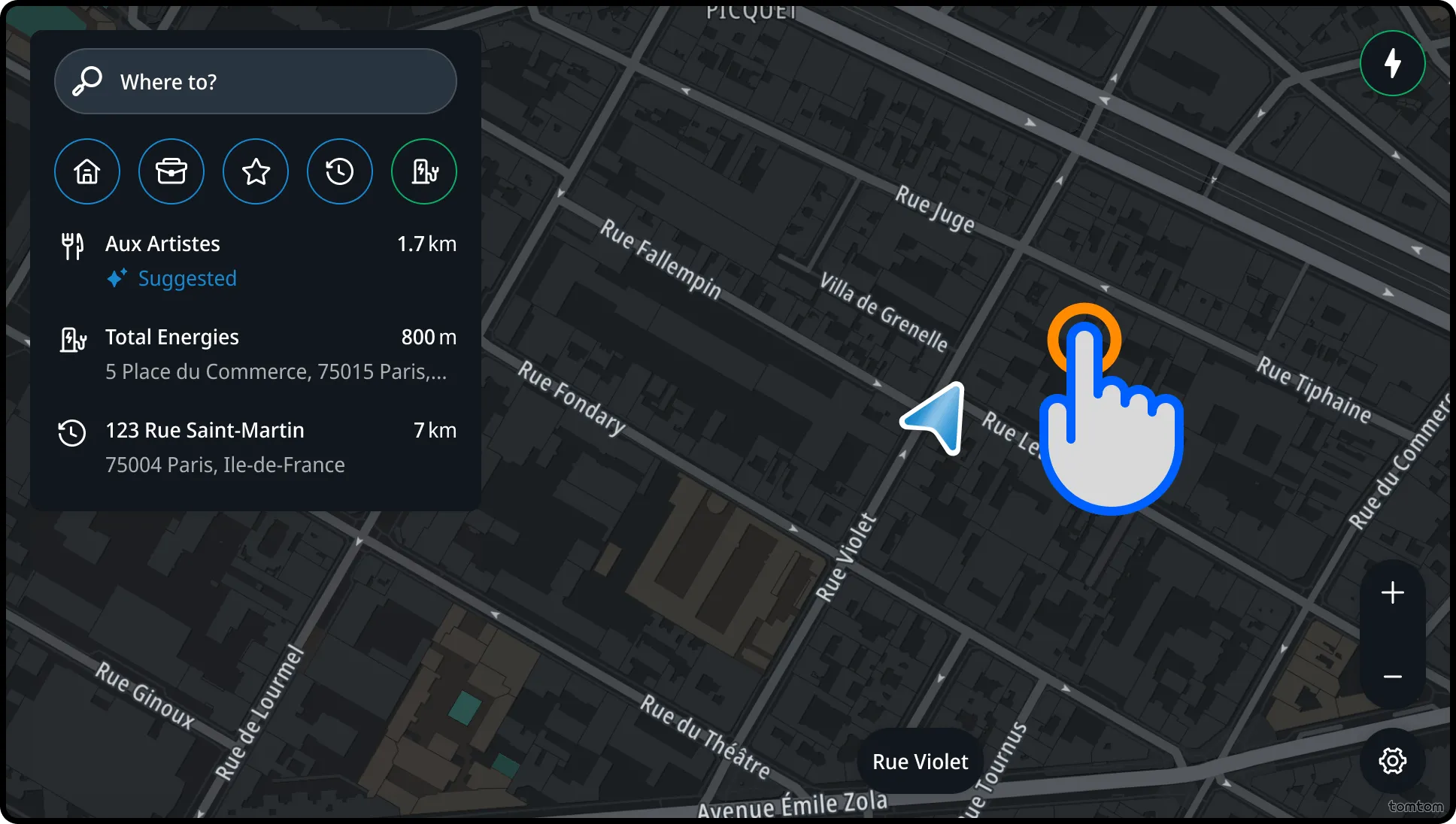
Complex interacting with the map using gestures
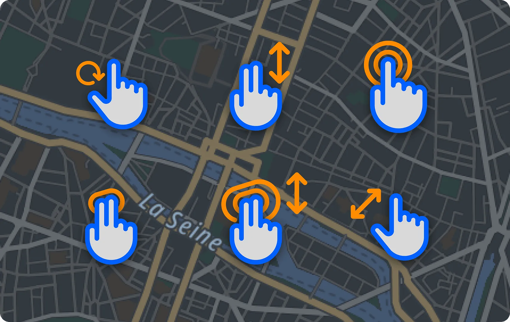
Other gestures that are also supported:
- Pinching in and out zooms in and out.
- A two-finger rotate gesture will rotate the map.
- A two-finger up/down gesture will change the tilt angle of the map.
- A double tap with one finger on the map will zoom in one discrete step, the same as a single tap on the Zoom+ button.
- A tap with two fingers on the map will zoom out in a discrete step, the same as a single tap on the Zoom− button.
- A double-tap drag activates a zoom mode where dragging up zooms in and dragging down zooms out.
- Pinching in and out also puts the map into interactive mode and zooms in and out.
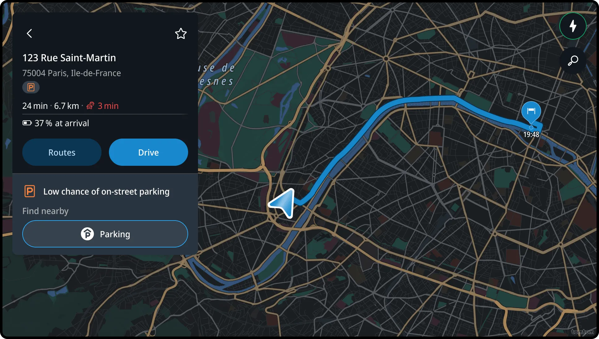
Long press
A long press on any location selects that location as a destination and shows the location panel with basic route information.
Compass direction
Map gesture interactions (panning, zooming, pinching, rotating and two-finger up/down) activate the compass component on the map, giving drivers a clear spatial reference for the north direction.
Flow
Visualizing the map with compass
