Map views
Request accessOverview
The map is a central part of the navigation experience. Drivers can interact with the map and switch between different map views to suit their preferences and driving context.
Map view modes
The map view adapts automatically to provide the optimal perspective for each experience.
However, users can also switch views manually to match their personal preference via the Map view section in the Quick settings panel.
The main map view modes include:
- 3D direction-up
- 2D direction-up
- 2D north-up
- Route ahead
- Route overview
These modes offer the most suitable perspectives for both active navigation and general map browsing.
The last selected view is remembered and automatically applied when the driver starts a new trip.
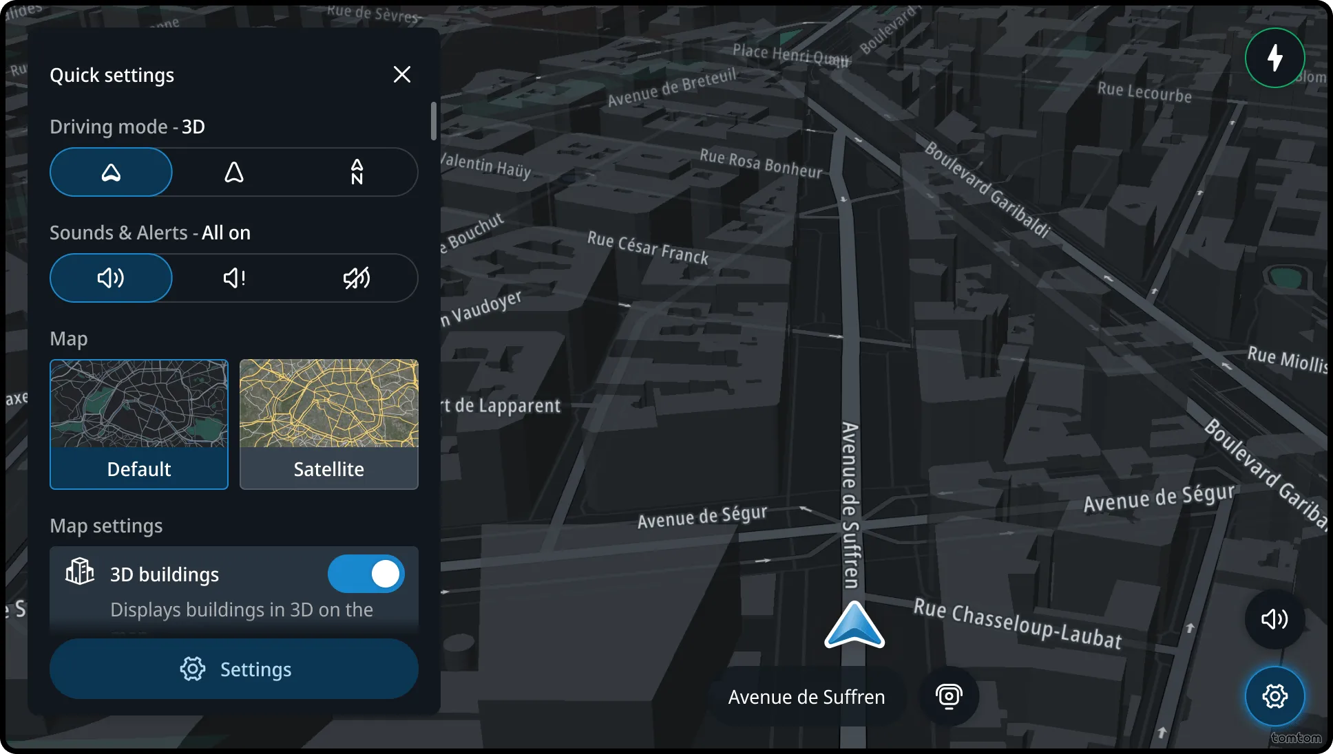
3D direction-up
This 3D tilted view is optimized for driving. It is oriented along the user’s direction of travel and uses the high-contrast street driving map style for improved visibility.
The chevron (the arrow indicating the user’s position) is positioned near the bottom edge of the screen, providing an optimal view of the road ahead.
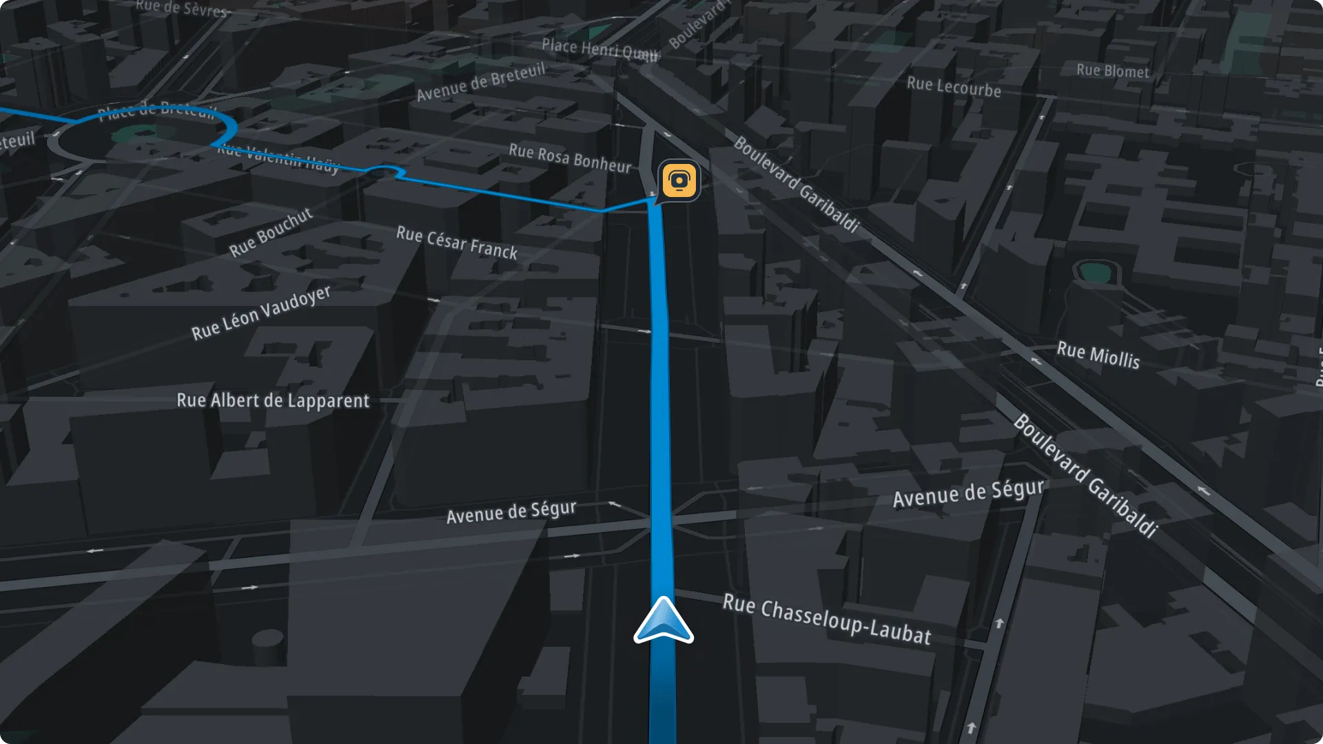
2D direction-up
This view is used while driving as a flat alternative to the tilted 3D view. It is oriented along the user’s direction of travel.
The 2D top-down perspective offers a clearer overview of the immediate surroundings.
The chevron (the arrow indicating the user’s position) is positioned near the bottom edge of the screen to maintain forward visibility.
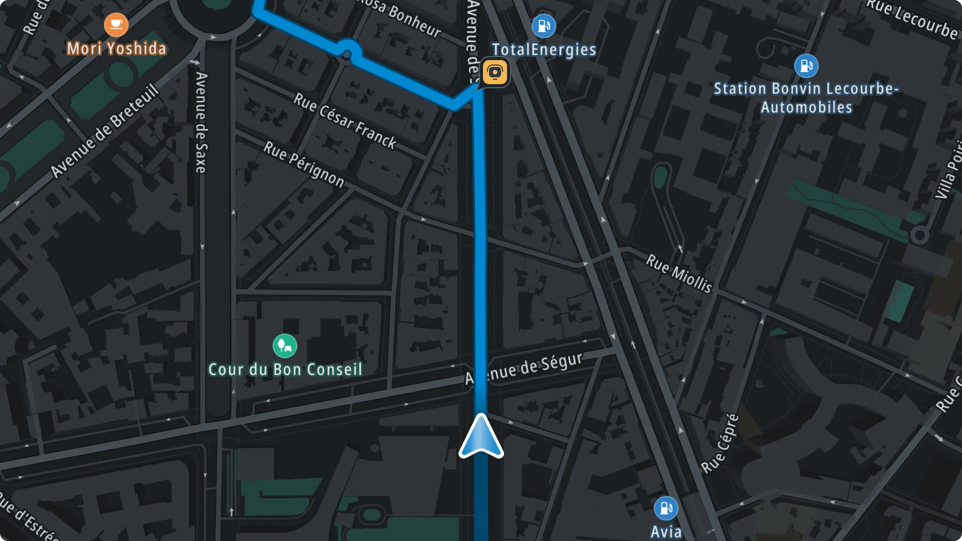
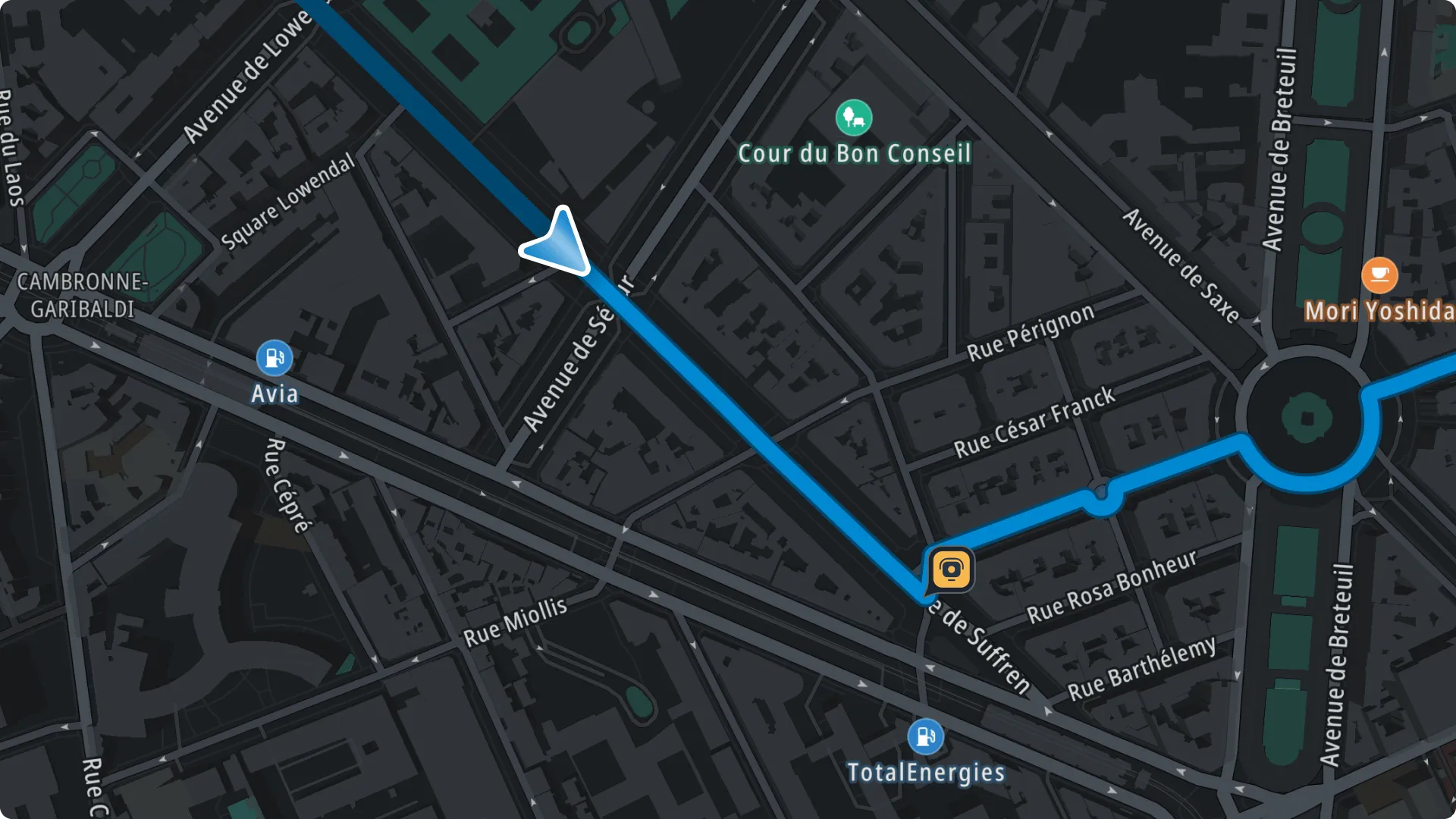
2D north-up (with Street map style*)
This is the default view when starting the app. It is also automatically applied during search and route planning experiences.
Drivers can manually switch to this view while driving if preferred.
This view uses a 2D top-down perspective with the top of the map always oriented to the north.
The chevron (the arrow indicating the user’s position) is centered on the screen and points in the direction of travel.
Route ahead
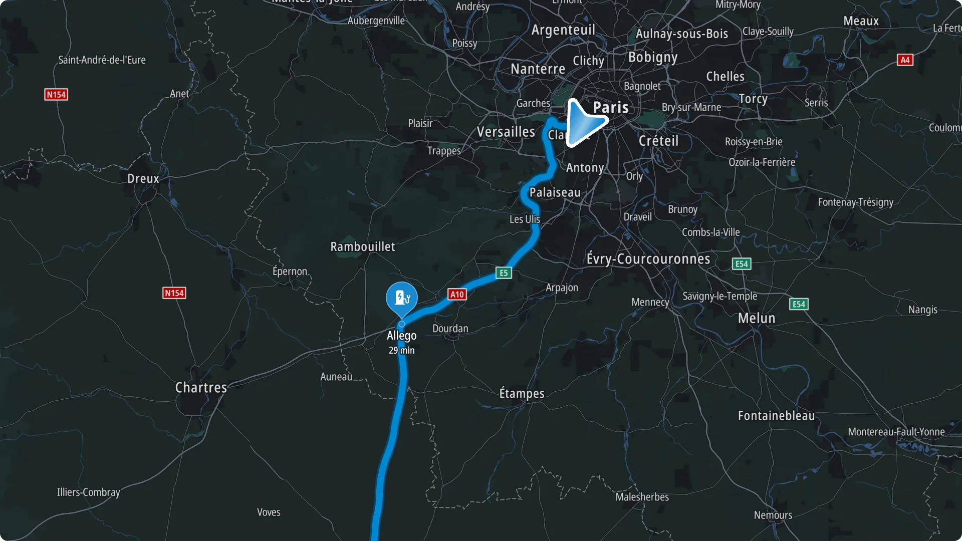
This view provides a zoomed-out overview of the remaining route, covering the next 100 to 150 km to offer a broader perspective than standard close-up guidance. Within this range, it displays detailed information—including stops, traffic incidents, delays, and restrictions—directly on the map.
Drivers can only switch to this view while driving with active route.
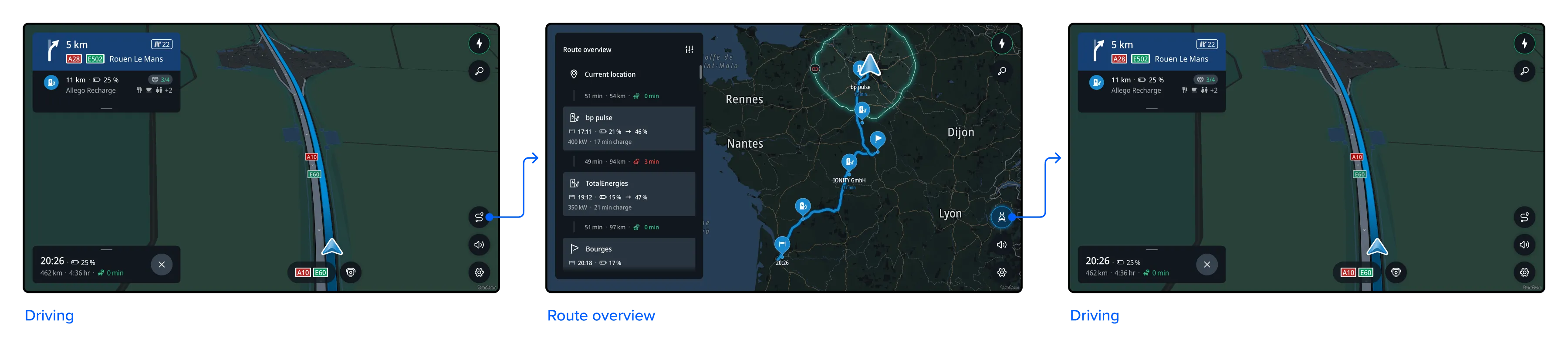
Route overview – 2D remaining route north-up
This view provides a full overview of the remaining route in a 2D, north-up perspective.
It offers a clear preview of the route ahead, including planned stops, traffic incidents, and other relevant information such as delays or restrictions.
* Map styles
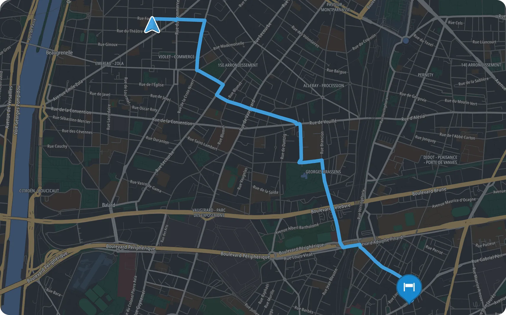
Each map view mode has its own associated style. These styles define visual elements such as road colors, the presence of 3D buildings, and land use details.
All views use the street map style, except for 3D direction-up, which uses the driving street style for higher contrast and improved legibility while driving.
EV range
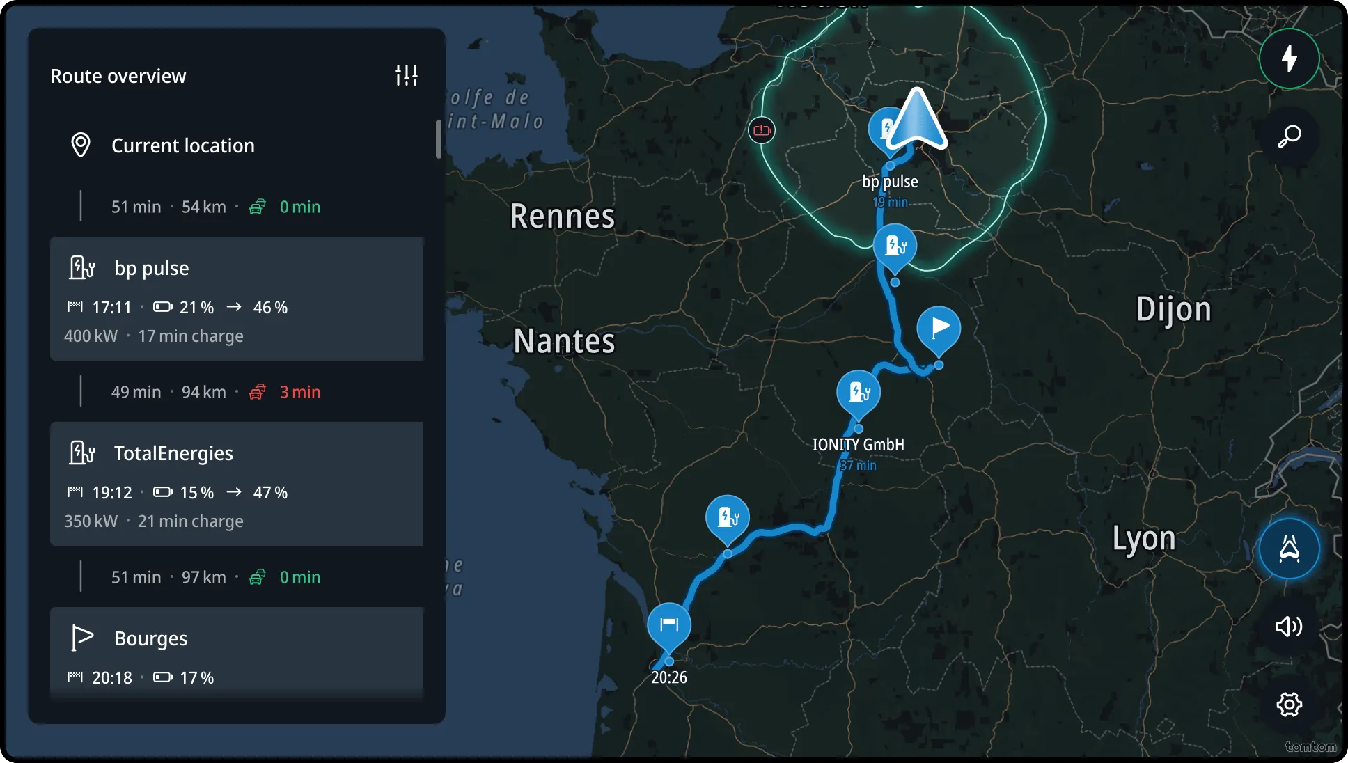
This view allow drivers to visualize an estimation of the range of their EV. It activates automatically during long-distance route planning or whenever the driver zooms out manually.
Flow
Changing map views and modes
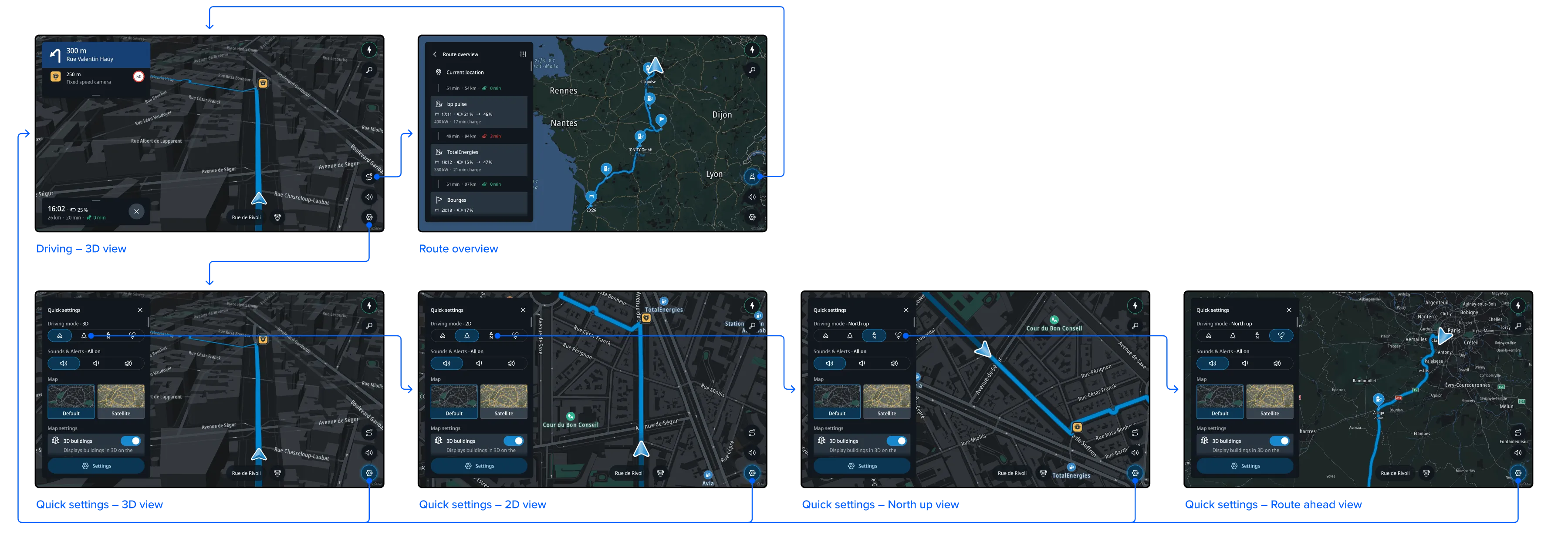
Drivers can switch between 3D direction-up, 2D direction-up, and 2D north-up using the Map view section in Quick settings. The control in this section also indicates the currently active view. To switch to route overview mode, drivers can use the Route overview toggle visible on the map when driving with an active route. To return to the standard guidance view, they tap the Route overview button again.
Visualizing the EV range